Worst-Case Scenario: Why Eric Snodgrass Thinks The Heavy Rainfall In Brazil Could Do More Harm Than Good
Eric Snodgrass - Heavy Rains in South America
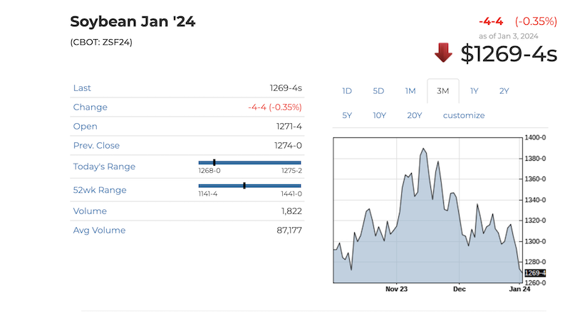
Sinking soybean prices have been the theme to start the new year. One reason behind the price pressure is bearish news of rain returning to key growing areas in South America that had been impacted by severe drought. However, one leading ag meteorologist thinks this rain could do more harm than good at this point in the season, even impacting the planting of the safrinha corn crop.
Eric Snodgrass, science fellow and principal atmospheric scientist with Nutrien Ag Solutions, says the wet weather is a sudden switch from the drought that plagued a vital soybean and production growing region at the end of 2023.
“For the last three months, we've seen incredibly dry conditions throughout the center-West region,” says Snodgrass. “We had episodes of heat pushed the late planting off quite a bit. And now we're seeing the models really make a pretty substantial flip over to much wetter conditions.”
Join us Feb. 5 to 7 in Kansas City for Top Producer Summit. This is the leading networking and education event! Eric Snodgrass will present a general session: High Impact Weather And Production Agriculture"
Snodgrass says forecasts point to as much as 8 inches to 10 inches of rain in a span of two weeks. While the rain is needed, it could actually do more harm than good.
“To be honest with you, I think this is a worst-case scenario, compared to if it had just stayed drier,” Snodgrass says. “What I mean by that is you bring in all that rain, it's going to impact some early harvests. But what happens if all of that moisture begins to get recycled? In other words, it sticks around and that makes things wetter for a while. Now, all of a sudden, you start pushing back the harvest time period. And that's going to just keep pushing that crop calendar such that the safrinha corn crop goes in late.
The next 5 days across S America. Wednesday morning global output. pic.twitter.com/a8rmJ1tTrW — Allen Motew (@QTweather) January 3, 2024
Snodgrass says El Niño reached its peak at the end of December. Now, what’s called the Madden–Julian oscillation (MJO) is riding on top of El Niño, which is pumping tropical moisture into Brazil and increasing farmers' chances there for heavy rainfall and continued rain events.
“Basically, we opened it up finally to getting moisture into place from the tropics and, therefore, it's going to start raining and raining pretty heavily,” says Snodgrass.